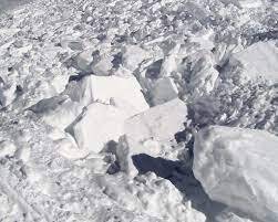
Avalanche Hazard | Flickr
Avalanche Hazard | Flickr
The avalanche hazard has increased for this evening through tomorrow with todays wind and new snow.
Todays storm is beginning to add up this evening with approximately 3-5” of new snow accumulation throughout hatcher pass.
This new snow will be blanketing and hiding thin wind slabs at upper elevations on west to north aspects which formed earlier today and before the bulk of new snow began to really accumulate.
NWS is calling for 4-6” of new snow between Monday at 6pm to Tuesday at 6pm.
If you get out tomorrow be thinking about and assess for the possibility of human triggering wind slab, storm slab, and loose dry avalanches with storm snow totals possibly reaching 8”.
Original source can be found here.


 Alerts Sign-up